Lubusz Nordic Walking Trails – From the Sacral Triangle to Christ the King – Łagów and the surroundings
BLUE TRAIL BLACK LAKE – ŁAGÓWEK
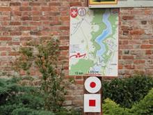
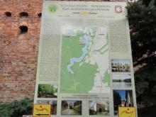
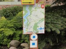
ROUTE: bailey by the amphitheater, the streets of Łagów, under the railway viaduct, Czarne Lake, Łagówek, Trześniowskie Lake, amphitheatre (trail length – 11.6 km, blue colour)
TRAIL TYPE: natural-historical
DIFFICULTY LEVEL: not very demanding
WALKING TIME: 3 h
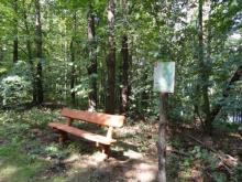
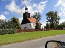
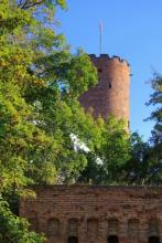
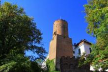
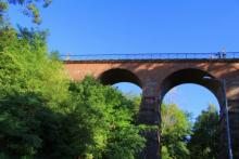
VALUES: The trail first leads through the streets of Łagów under the historic Polish gate and under the Art Nouveau railroad bridge. Then it turns into a gravel road leading through a fruit alley and a forest path to Czarne Lake. Continue along the beech forest road to unpaved road at the forest edge overgrown with oak trees to turn again into a beech road passing by Czarne Lake (angling stand) leading to Łagówek, where is a timbered church (Prussian wall from 1717), a picturesque, beautifully kept Garden of Eden with many species of plants. Then we head towards the eastern bank of Trześniowskie Lake where we take a picturesque path among beeches to Łagów and then along the streets to the amphitheater in Łagów.
RED TRAIL AGRICULTURAL OPEN-AIR MUSEUM – JEMIOŁÓW
ROUTE: bailey by the amphitheatre, the western bank of Trześniowskie Lake, the border of the military training ground, a high moraine towards Jemiołów – an open-air agricultural museum, Trześniowskie Lake, the Łagów amphitheatre (trail length – 13 km, red colour)
TRAIL TYPE: natural-historical
DIFFICULTY LEVEL: not very demanding
WALKING TIME: 3.5 h + time to visit the open-air museum
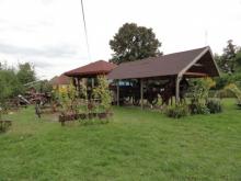
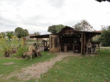
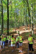
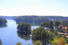
VALUES: The trail leads along the western shore of Trześniowskie Lake, the deepest and one of the cleanest reservoirs in the region. Among the most valuable elements of nature is the unique relief with over 100-year-old beech trees and centuries-old pines and spruces. The trail runs mostly along the lake shore and then turns to a high moraine formed by the glacier 10,000 years ago and runs to Jemiołów, where is an open-air museum of agricultural equipment, a church with an altar dating back to 1730 and a historic water tower, a unique structure. Then the trail goes back along the picturesque route over Trześniowskie Lake in the direction of the Łagów amphitheatre.
ŁAGOWSKIE LAKE
ROUTE: bailey by the amphitheatre, streets of Łagów, Łagowskie Lake, Łagów, Łagów amphitheatre (trail length 9 km, red colour on yellow background)
TRAIL TYPE: scenic
DIFFICULTY LEVEL: Easy
WALKING TIME: 2.5 h
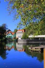
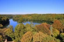
VALUES: The trail leads the tourist mostly along the lake shore and crosses the bridge over the small river flowing out of Łagów Lake where cranes nest in the meadow. Beautiful views (in summer the green of forest is reflected in the emerald waters of the lake and in autumn the golden colour of beech forests draws attention). The old architecture of Łagów – the castle of the Order of St. John – blends in with the beautiful natural surroundings.
YELLOW TRAIL ŁAGÓW, ŁAGÓWEK, BUKOWIEC
ROUTE: bailey by the Łagów amphitheatre – streets of Łagów – Łagówek – Bukowiec Mountain – Łagówek – Łagów (trail length 14 km, yellow colour)
TRAIL TYPE: nature
DIFFICULTY LEVEL: easy
WALKING TIME: 3.5 h
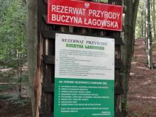
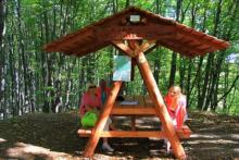
VALUES: At the beginning the trail leads along the pavement in the streets of Łagów, then along the pavement to the end of Łagówek, next to Bukowiec Mountain there is a paved road, which leads among beautiful beeches, pines and spruces, passing by the "Buczyna Łagowska" reserve. This reserve is nearly 116 hectares of beech forest of natural origin, beech trees aged 100-150 years are among the most beautiful beech stands in Lubusz. Further on, we reach the "Beech Crossroads" and head towards "Bukowiec Mountain.” The mountain is the highest hill in the Lubusz land (227 m above sea level). On its top there is an entry book of the conquerors of this mountain. We return the same way.
Lubusz Nordic Walking Trails – implemented by the LOTUR Lubusz Regional Tourist Organization as a part of the project co-financed by the Ministry of Sport and Tourism
Localization:
The public task is co-financed from the funds received from the Marshal's Office of the Lubuskie Voivodeship


