Languages
Lubusz Nordic Walking Trails – Drawsko Forest – The land of lakes and rivers –Strzelce Krajeńskie Commune Trails
Enchanted ladies of Burgwall Trail BLUE TRAIL
Route: Długie, at the Recreation Centre – along Lipie and Słowa lakes – Burgwall (Grodzisko) hill – the end of Ogardzka Odnoga lake (place where the bridge used to be)
Route type: scenic
Difficulty level: easy
Walking time: 2h (7 km)
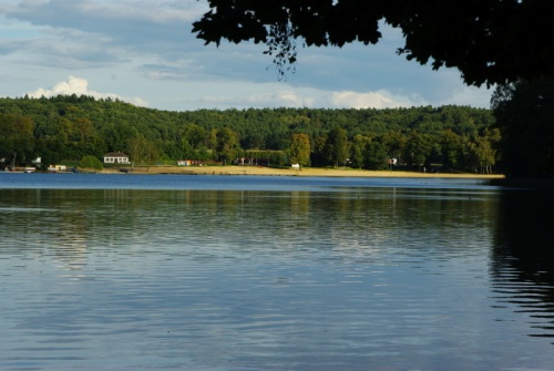
Attractions: Beautiful views of the lake surrounded by forest. The fortified settlement with interesting legends.
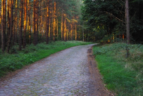
From the beach in the Tourist and Holiday Centre in Długie along the shore of Lipie Lake, passing the "Wodnik" Hotel, then along Lipie Lake to the peninsula separating Lipie and Słowa lakes from the south, we go over the Burgwall hill, which means a fortified settlement, the remains of a fortified town. Further on a forest road by the Słowa Lake we reach a fork of roads. The stretch of 5.5 km. From the fork we can reach a place by the Ogardzka Odnoga Lake, where was a bridge. Here the road ends (1.2 km). However, going from the fork to the right, we take the marked medieval forest track to the national road 22.
The whole route is 9 km long.
After crossing the road, go back to the forest path along the lakes: Kokienko, Kokno and come back to the Tourist and Recreation Center in Długie.
The stretch of 3.5 km.
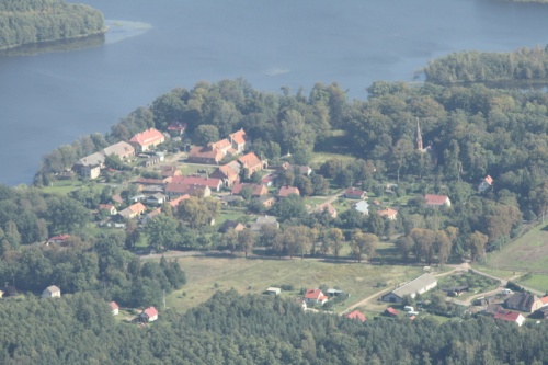
Długie-Wodnik
There is a recreation center "Wodnik" offering guarded bathing site with a sandy beach, camping, campsite, slide, small catering facilities and a playground for children. There is a marina, water sports equipment and bike rental.
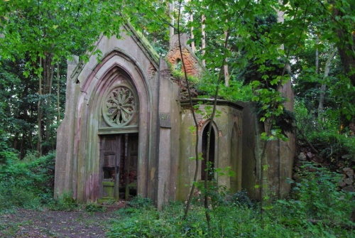
Grodzisko
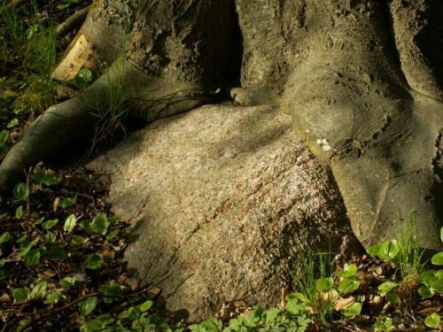
On the peninsula separating the Lipie and Słowa lakes, on a hill which until 1945 was called Burgwall, there existed a fortress. This has been confirmed by archaeologists. At the turn of the 13th and 14th centuries a knight’s castle already existed there. According to local legends, in the place where the settlement was discovered, there was a castle of a robber knight who attacked merchants.
Hubert’s Trail BLUE TRAIL
Route: Around the nature reserve "Mszar Przyigielkowy" named after Hubert Jurczyszyn
Route type: natural
Difficulty level: easy
Walking time: 1.5 h (4.5 km)
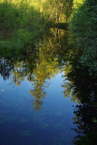
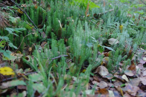
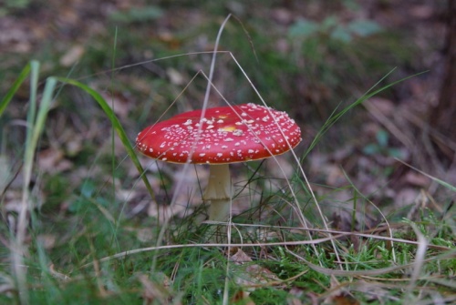
Attractions: Nature reserve with an abundance of rare marsh vegetation.
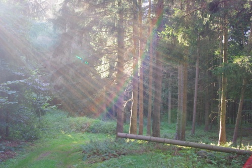
The trail starts at the Sports and Education Camp in Długie from where you go in the direction of Stare Kurów. Behind the sports facilities of the Colony Centre turn right heading to the reserve. The trail leads around 7.75 ha of the area, where the marsh and peat bog vegetation community is located, in particular the sphagnum marsh and the high peat bog. After completing the route follow the marked trail back to Długie.
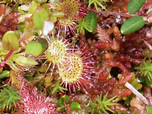
Reserve
The aim of protection is preservation of marsh and peatbog flora communities, especially fen mires with characteristic species – white and locally very rare in Poland brown beak-sedge and high peat bog moss.
Hubert Jurczyszyn
Born in 1952, a forester by education, he was the head of the Strzelce Krajeńskie Forest District. His persistent efforts led to the formal establishment of a nature reserve "Mszar Przygiełkowy – Długie.” His merits for local forests inspired foresters to name the reserve after him.
Kniaziówna Loop from Dankowskie Lake GREEN TRAIL
Route: Route in Danków
Route type: historic
Difficulty level: easy
Walking time: 1h (4 km)
Attractions: Danków has a very interesting history, the remnants of which can still be seen during sightseeing.
Take provincial road no. 156 from Strzelce Krajeńskie to Barlinek, before Danków turn right into a forest road. After 200 meters on the right side of road there are ruins of the von Brand family mausoleum, hidden in an earth embankment. The tomb mausoleum was built in neo-gothic style in the 1850s. In the interior, a room with two-level niches. On a structural element of the mausoleum is placed the date "1859.” After visiting the ruins of mausoleum we go to Dankowskie (Wielgie) Lake where is a camping site with spacious roofed tables and benches, boards with descriptions, a place for a bonfire and a wooden pier.
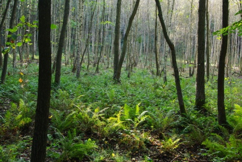
Just behind the camping site, there is an educational and fitness trail, which runs around a hill naturally formed by the glacier, surrounded by 170-year-old pine trees. The attraction of this trail are elements for fitness training and a footbridge leading to the "treasure island." The trail leads to the camping site, passes the bridge, and with a right turn we enter the trail that leads along Dankowskie Lake. In the middle of the trail, on the left, there is the "Forest Ecological Center" where educational classes on nature and forestry topics are conducted for organized groups. On the premises there is a playground for children and an obelisk commemorating Hubert Jurczyszyn, the first Forest District Manager of Strzelce Krajeńskie. The facility is owned by the Strzelce Krajeńskie Forest District. We turn left and get to the provincial road no 156. Along the road we get to Danków, a former princely town of Brandenburgian Nowa Marchia, today a village. On the right, an elevation, artificially raised in the late Middle Ages, served as a watchtower. Going further you will see a neo-Gothic church from the 19th century in the neighborhood of a manor farm and a landscape park (private area), which is one of the most interesting 19th century gardens in Lubusz Voivodeship. Along the wall surrounding the manor farm we come to the eastern gate, located by the barn building, which was a kind of a representative entrance to the farm yard. Turning right, we pass the stable with a dovecote and the building of the former orangery, then we make a left turn and come to a natural monument – a pedunculate oak with the circumference of about 580 cm. Go back the same way, behind the eastern gate turn right, on the left side of the village street there is a building of the former school, now a community center. On the building there is a detailed plan of Danków with descriptions. On the right side of the road is a red brick barn, a rare example of a farm building. Follow the paved road to reach the fragments of ramparts, the medieval city fortifications of Danków. This is where the trail "Kniaziówna Loop from Dankowskie Lake" ends.
Danków and surroundings
The village is situated on two lakes: Dankowskie (Wielgie) Lake and Kinołęka Lake. The first historical mention of Danków dates back to 1300. Danków had fortifications, but its greatest defense value was its location – the village was built on a peninsula jutting into the lake, which surrounded Danków from three sides.
The palace in Danków
It was a brick, two-storey building with a basement and representative entrances decorated with heraldic images. The palace housed a large library and gallery of paintings by old Dutch masters. In 1860-1933 the palace was intact, at the beginning of the 20th century it was electrified.
Old Captain’s Trail GREEN TRAIL
Route: Danków – around Kinołęka Lake – Danków.
Route type: scenic and historical
Difficulty level: easy
Walking time: 3.5h (13 km)
Attractions: Interesting history of Danków and landscape values of the Kinołęka Lake area.
The trail starts at the fork of roads towards Moczydła. Take the asphalt road outside the village of Danków. After 700 meters you turn right into an old paved road leading to the Kinołęka Lake. After another 1200 meters turn right into a forest road and get to a mysterious circle of stones. There is a resting place with benches and tables, this is 2.6 km of the trail. Further on turn right heading for Danków. Reaching the provincial road no 156, on the right side there is an old watchtower, which is worth seeing (at 3.4 km). Earlier you have to cross a wooden bridge and stairs. After visiting the watchtower come back to the trail. After another 700 meters the trail ends in the historic town of Danków.
Danków treasures GREEN TRAIL
Route: Danków – around Kinołęka Lake – forest bridges – Danków
Route type: scenic and historical
Difficulty level: medium
Walking time: 5h (17 km)
Attractions: Interesting history of Danków village as well as the palace and its last owners. Landscape values of the Kinołęka Lake area.
The trail starts at the fork of roads towards Moczydła. Take the asphalt road outside the village of Danków. Follow the asphalt road for 1.9 km. Then, turn right passing picturesque forest roads of the Gorzów Forest. After walking 3.1 km, turn right heading for Kinołęka Lake. Going along another 1100 m section, we reach a mysterious circle of stones. At 4.2 km, there is a rest area with benches and tables. Further, turn right heading for Danków. Reaching the provincial road no. 156, on the right side there is an old watchtower, which is worth seeing (at 5.1 km). Earlier you have to cross a wooden bridge and stairs. After visiting the stronghold come back to the trail. After another 700 meters the trail ends in the historic town of Danków.
Palace Park
The palace park in Danków is one of the most interesting 19th century parks in the Lubusz Voivodeship. Despite neglect, it is a well-preserved building with a clear original composition. The park’s designer, who probably came from Berlin circles, referred to the idea of gardens from the turn of the 18th and 19th centuries and to designs by an outstanding landscape architect, Peter Joseph Lenne.
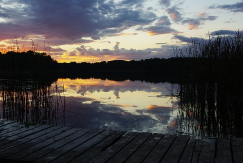
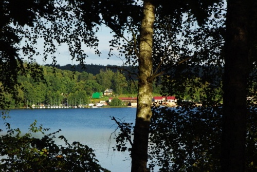
Wielgie Lake
Wielgie (Dankowskie) Lake has a water surface of 81.9 ha and a maximum depth of 7.7 m. By the lake there is a landscape park with an area of about 15 ha, where you can find many species of trees, including a 500-year-old English oak with a height of 25 m and 7-meter trunk volume.
Monastery Trail YELLOW TRAIL
Route: Parking lot at Strzelecka Street (Strzelce Krajeńskie) – along the Górny Lake – around the Dolny Lake – Brama Młyńska.
Route type: historic
Difficulty level: easy
Walking time: 2h (5.5 km)
Attractions: A unique layout of the medieval town, surrounded by almost complete defensive walls, numerous half-banisters and two gates, fully deserving the name of Lubusz Carassone.
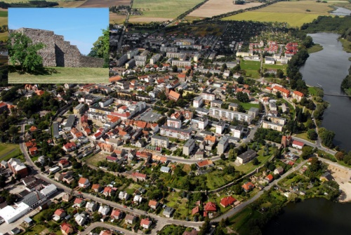
The trail starts at the parking lot in Strzelecka Street, from where it goes along the Górny Lake. Passing the recreational areas, walk along the marked hiking path until you reach farm ponds located on the left. Next, turn right – still walking along the shores of the Górny Lake we reach a designated resting place provided with a roofing, tables and benches. Walking along the lake shore, you will reach the bridge over Górny Lake. Tired hikers may return to the beginning of trail, while the route continues to the national road No. 22. Here it is also possible to return to the beginning of our route. At the level of Strzelecki Cultural Center go to the other side of the road, heading right to Lipowa Street. Following the road signs, walk around Dolny Lake and reach the end of trail located by the historical Granary and Mill Gate.
Defensive Walls
The town was surrounded by a ring of stone defense walls. The walls were complemented with double ramparts and a moat filled with the waters of Górny and Dolny Lake. The walls were 8-9 meters high and 160 cm wide. Thanks to them, Strzelce Krajeńskie deserves to be called Lubusz Carcasonne.
The Mill Gate
The Mill Gate was built in the first half of the 15th century, perhaps in the place of an earlier gate. It guarded the route on the causeway built between two town lakes. On the eastern side, the gate tower was additionally secured with a so-called neck with a barbican (so-called pot), which was demolished in 1736.
Gallery:

Localization:
The public task is co-financed from the funds received from the Marshal's Office of the Lubuskie Voivodeship