Languages
Lubusz Nordic Walking Trails – Cultural trail through the centuries – Maszewo Commune Trails
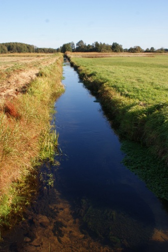
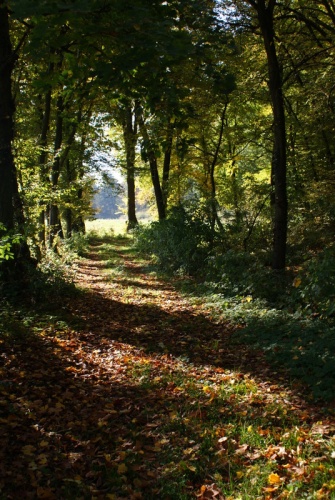
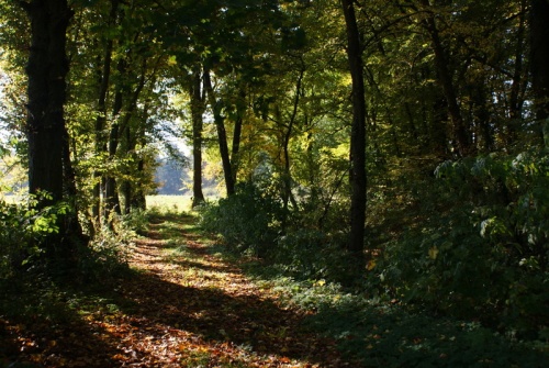
Fisherman’s lodge GREEN TRAIL
Route: Trzebiechów – around fish ponds – Trzebiechów
Route type: scenic
Difficulty level: easy
Time: small loop 2h (5.4 km), big loop 3h (7.5 km)
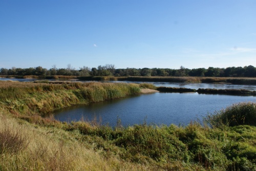
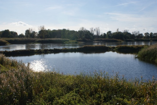
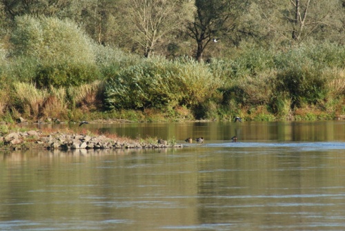
Attractions: The route leads around and between Trzebiechów fishponds created in the Middle Ages by the Cistercians
Trzebiechów – an oval road dating back to 1308. With time it transformed into a multipath road. There used to be a manor in the village, after which there are still functioning farm and the palace park from the 18th century. Five archaeological sites have been discovered in the area.
A white-tailed eagle nest has been reported there. The white-tailed eagle is the largest raptor in northern Europe. White-tailed eagles have broad, rectangular wings with fingertipped ailerons. When they circle they keep their wings flat or slightly raised. Also noticeable in the air is the short tail – in contrast to the long wings. Body length about 85-95 cm, wingspan in males up to 220 cm and in females up to 240 cm. It nests in diverse landscapes with lakes and ponds, wetlands or watercourses, in old trees near large open bodies of water. It avoids mountainous, forestless areas without water bodies, but also vast and dense forest complexes.
Skórzyn
The name of the village as Skorin appears in 1308. The owners of Skorin were among others the families of Grunberg and Finckelstein. Until 1937 it was called Skyren, which in the Sorbian language means light. The nearby fish ponds were dug and managed by the Joannits from Łagów.
Leo Caprivi
Skórzyn is known for the last 5 years of Leo Caprivi’s life spent here. He was Chancellor after Otto Bismarck from 1890 to 1894 and tried to bring about changes in both external and internal politics. After his retirement he lived in Skórzyn at his niece’s house (house number 45). He died in 1899 and was buried.
Oil Trail RED TRAIL
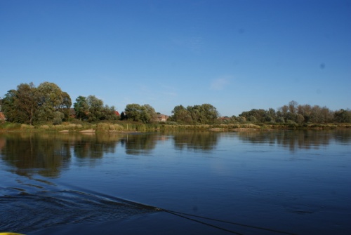
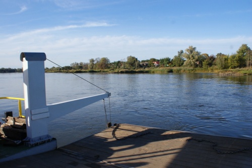
Route: Maszewo – Połęcko (Krzesiński Landscape Park) after crossing by ferry to the other side of the Odra River – Maszewo
Route type: scenic and nature
Difficulty level: easy
Walking time: 3h (10 km)
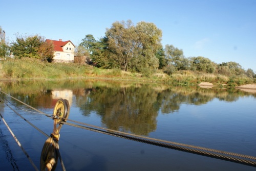
Attractions: a ferry ride to the other side of the Odra River and the possibility of visiting the Krzesiński Landscape Park. Visit to the place where oil was discovered for the first time in Western Poland.
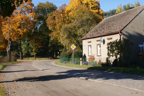
Maszewo
The first mention of Maszewo (German name Messow) dates back to 1251 when Otto, son of Krosno Castellan Konrad, granted the property of Maszewo to Abbot Henry from the Cistercian monastery in Lubiąż. The next owner of the property was Balizar von Loben. In the past, the municipality area was divided into a number of knightly estates, the oldest owners of which date back to the 13th century. In the following centuries the estates often changed their owners. In the area of Maszewo there are fourteen archaeological sites (early, medieval and modern).
Church in Maszewo
Over the centuries, 3 church buildings existed here. The existence of the first wooden building from 1590 was described by parson Elias Lauriscius. The first mention of a brick church appeared in historical sources in 1656. In 1909-1914 the church was demolished and in its place a neo-gothic brick building was erected, which we can see today. Noteworthy are two bells from the 15th century located in the tower, confirming the long tradition of this church.
Połęcko
The first mention of the village dates back to 1277, but the existing archaeological sites reveal the early and medieval history of the village. It was owned by the town of Krosno. Some people connect the existing Odra crossing with the invasion of the Piast state by Emperor Henry II in 1005 and 1015. According to some researchers an imperial army crossed somewhere in the vicinity of Połęck. Originally an oval village, nowadays a multipath village with compact ridge and gable development. After the liquidated cemetery from the 19th century the tree stand has been preserved.
Rybaki
The village has characteristic compact rural buildings. Its long history is confirmed by archaeological sites, of which there are fifteen. The oldest written reference to Rybaki comes from the second half of the 13th century. The existence of the village was confirmed in 1438, when the brothers Hans and Lorenz von Knobelsdorf bought rent from Duke Henry of Głogów. In the 16th century the village passed into the hands of the von Löben family. After 1850 the nobleman’s property was partly divided among numerous peasants.
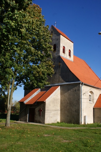
Church in Rybaki
It was built in the second half of the 17th century. On the organ gallery there is an inscription indicating the period of its construction and founder: "in 1659 the House of God by Johann Fridrick v. Löben was built and 14.10.1677 consecrated.” Around 1680, interesting Baroque furnishings were created. In the 18th century, the church was covered with bricks and plastered from the outside. In the second half of this century, a pulpit altar was added to the interior. Probably around 1934, the gable wall was strengthened by adding a porch with walls in the form of thick buttresses. In that period, in the area of cemetery, which at that time surrounded the church, a small building was erected, the exact original purpose of which is not known.
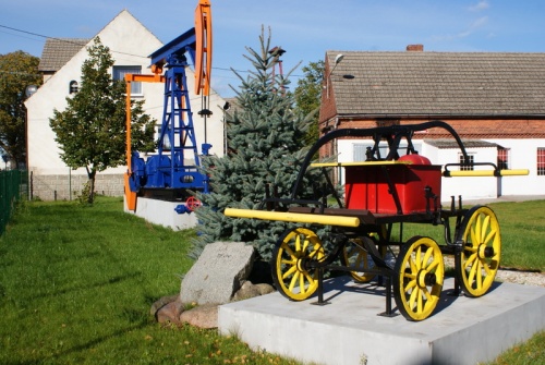
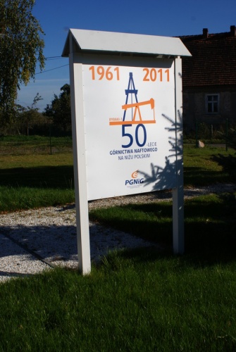
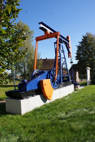
Rybaki oil
More than 50 years ago Rybaki near Krosno Odrzańskie made headlines due to the discovery of rich oil deposits. Drilling began in February 1961 and ended on September 12. Production began in November. Oil workers came from all over Poland and … they married local girls. The identification of this place was the result of original thoughts of geologists educated before the war. Already in the 50s they suspected that they could find something here. Several years later, in 1968, the Oil Exploration Company in Zielona Góra was established.
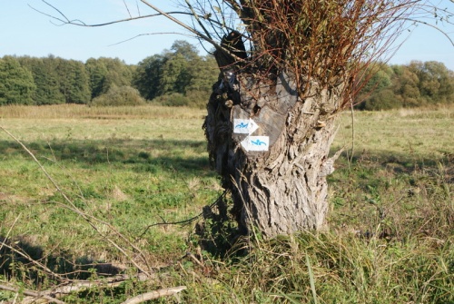
Oak Woods Trail BLUE TRAIL
Route: Cross near Bytomiec – Krzesin-Bytomiec polder – Cross
Route type: scenic and natural
Difficulty level: Easy
Walking time: 1.5h (5 km)
Krzesiński Landscape Park and Krzesin-Bytomiec polder
Bytomiec
A village with a short history. It was founded as a colony in the 18th century and developed at the turn of the 19th and 20th centuries. In the area there are three archaeological sites.
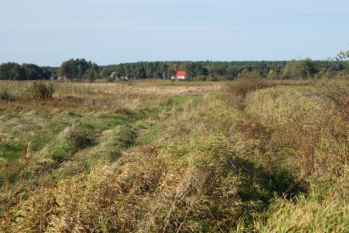
Krzesiński Landscape Park
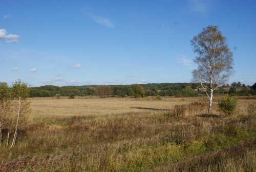
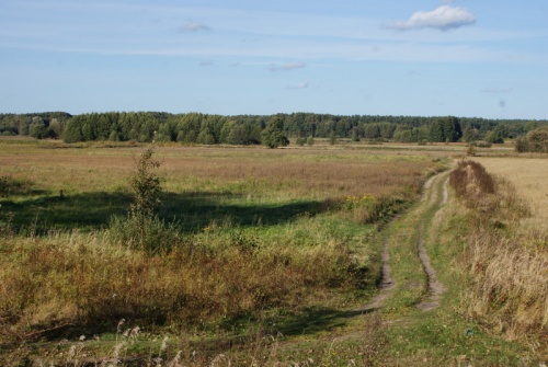
The Krzesiński Landscape Park was established in 1998 in the area of 3 communes: Cybinka, Gubin and Maszewo, by the decree of the Zielona Góra Province Governor. It covers an area of 8546 ha and includes areas of the Odra proglacial valley and an estuarial fragment of the Nysa Łużycka riverbed opposite Połęcek. A characteristic feature of the park is a large share of meadows and fields in its area. The most valuable area of the Krzesin Landscape Park is the periodically flooded Krzesin-Bytomiec anti-flood polder. Large areas of periodically flooded or wet meadows create suitable living conditions for many animal species.
Szydłów
Once upon a time there was a town called Szydłów on the Odra River, near Bytomec. It was located on the right bank of the Odra opposite the mouth of the Nysa Łużycka River. Szydłów was granted town privileges in the thirties of the 13th century, and was the centre of administrative and judicial authorities. Historical sources from the 13th and 14th centuries also mention another castellan’s seat being located in Szydłów. The earliest castellans are mentioned in 1232 and 1236. The castle’s geographical location near both rivers was of strategic importance. The castle was probably destroyed by military trenches during the Swedish wars in the 17th century, and became a village. Remnants such as the ruins of buildings or the foundations of church can be seen among the Odra marshes to this day. The earthen ramparts called Szydłowiec trenches remained after the village, or actually the town. In 1910 the village still had 34 inhabitants and in 1939 – 22.
Gallery:

Localization:
The public task is co-financed from the funds received from the Marshal's Office of the Lubuskie Voivodeship